
Something urgent is happening beneath the surface.
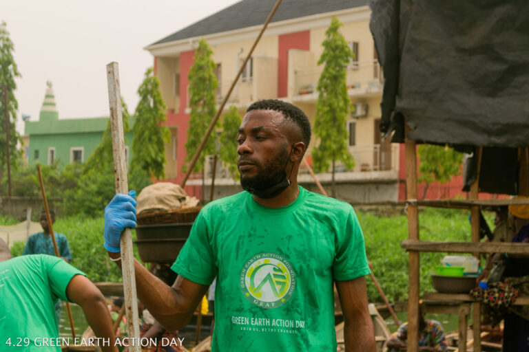
In the heart of Lagos, where wooden homes rise above water and stories flow like the tide, Makoko faces a silent crisis: the slow suffocation of its estuarine waters by microplastics and urban waste. What if we could see where it flows, trace where it chokes, and predict where it will spread next?
That’s the vision behind this project — a bold experiment blending community memory, digital mapping, and marine conservation using CyberGIS tools.
As an intersectoral environmentalist with a background in cybersecurity and grassroots advocacy, I’m exploring how geospatial intelligence can empower local solutions. This project began with nothing but a cleanup memory, a question, and a satellite map. But it’s quickly evolving into something bigger — a story told through pathways, blockages, and bloom zones.
Stay tuned as we map Makoko’s unseen pollution trails, amplify community voices, and reimagine what it means to restore the life below water.
Powered by experience. Grounded in community. Backed by data.